
Even establishment with seeding maps
With SKYFLD seed maps you ensure that each zone of your field receives the optimum seed rate. Benefit from uniform emergence make every subsequent input application more effective.
Using satellite imagery & uploaded soil and yield maps, SKYFLD enables users to identify different soil zones within their field(s). Quickly and easily create and export variable rate seed maps based on up to ten base maps - personalised seed maps based on your experience and field conditions.
Saving of
Seeds
Perfect
zone maps
Improved
yield quality
Homogeneous
stocks

Headland as a separate zone

The optimal zone map

Seed application

Everything in view

Automatic calculation

Machine configuration
Creating seeding maps is easy
01
Base map
stacking
Select from up to 10 maps
for the field zoning
02
Enter
parameters
Define your seed rate, seed
quality parameters and strategy
03
Get
started
Export the map with immediate
viewing of the map preview


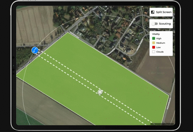
Individual Tramline
Instead of being tied to static tramlines, SKYLFLD’s new direction change tool makes it possible to adapt the orientation of the tramline to the real course. Thus the orientation of the pixels of your seed or fertiliser map changes, enabling a real-world application strategy and helps you save time and increase yield.
- Real application strategy
- Save time and increase yield
Ready to use in 15 minutes:
Get a 6 month free trial
- Reduce farm input costs
- 3-year Biomass history as standard
- Optimize your crops
Once different zones in the field are identified, it comes to customizing seeding rate resulting in higher yield and lower input costs. Adjust your seed rate exactly to the soil conditions and yield potential! The creation of the variable sowing map is based on the previous yield, soil and biomass maps and thus becomes more accurate with each season. The seeding rate for headland can easily be adjusted to take account of soil compaction.